
Poetry trails, wartime history, Europe's highest sea cliff, white beaches and one of Northern Europe's largest rock art sites. Three days of coastal culture, activity and wild Bremanger nature.
Bremanger is where the ocean meets the mountains – from white beaches and sheer sea cliffs on Bremangerlandet to deep fjords, dramatic rock formations and Norway's westernmost glacier. People have lived here for more than 7,000 years, and today the municipality has over 100 marked hiking trails – and more red deer than people.
This itinerary takes you through three days in Bremanger: from Svelgen in the east, past Hornelen and Kalvåg, to the outer beaches of Bremangerlandet – with an optional add-on to the rock carvings at Vingen if you book ahead.
Start in Svelgen, the municipal centre of Bremanger, and head south along the Frøysjøen road towards Botnane, then on to Rugsundøy.
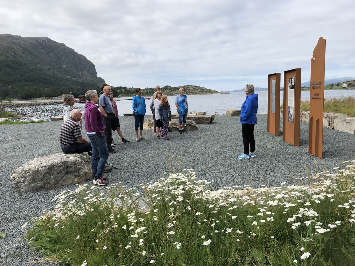
An easy 4.3-kilometre nature trail where ten poems by the writer Jan-Magnus Bruheim (1914–88) are engraved in steel and bolted to rocks along the way. Bruheim lived in this small coastal village from 1978 to 1985, and several of the poems were written right here.
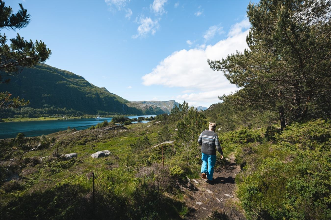
One of the best-preserved World War II sites in Nordfjord. The German navy began building the fort in the autumn of 1940, and by May 1941, 159 men were stationed here to control the entrance to the fjord. Today you can wander freely among the wartime bunkers and buildings – and see a preserved WWII cannon.
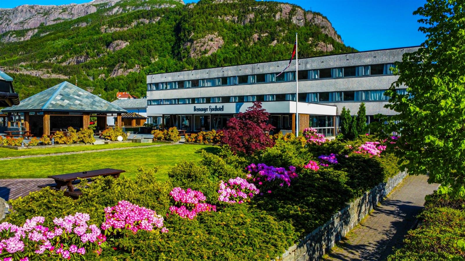
The fjord hotel sits by the water in Svelgen, with its own hotel garden. 40 rooms of various sizes, from standard doubles to larger family rooms. From here it is a short drive to both Hornelen and Ålfoten the next day.
Today's highlight is Hornelen – one of the highest sea cliffs in Europe. End the day in the charming fishing village of Kalvåg.
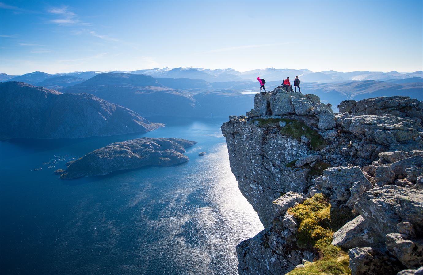
Hornelen rises 860 metres straight out of the sea and is considered one of the highest sea cliffs in Europe. Choose between a demanding summit hike (from Hunskår or Berleneset) and the steep Olavsruta via ferrata – an 8–9 hour climb with a 45-metre overhang near the top.
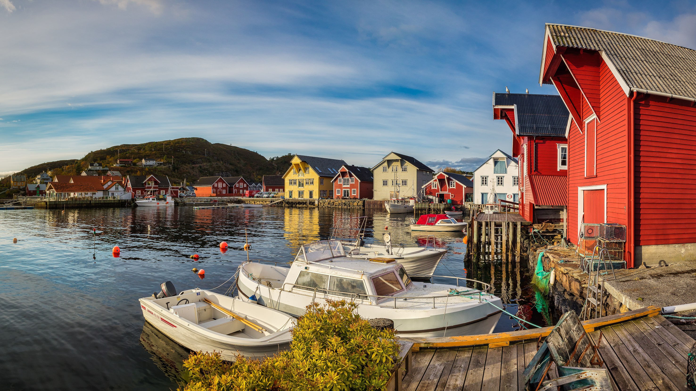
Kalvåg sits on the island of Frøya and was one of the largest fishing villages in Western Norway in the 19th century. Today it is a living coastal community, with restored boathouses and wharves gathered around a small harbour – everyday life and tourism side by side.
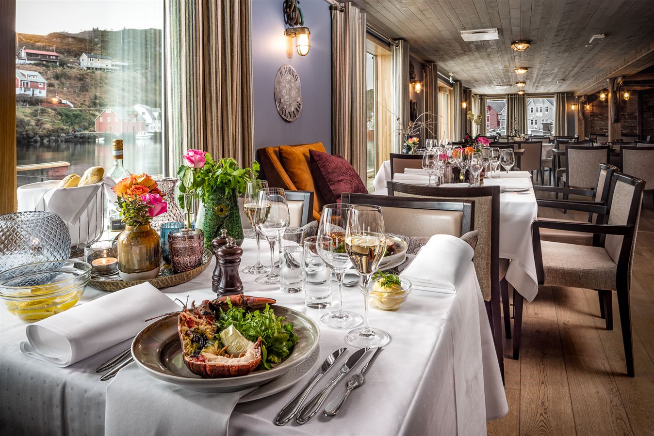
The restaurant sits right on the waterfront in Kalvåg and serves seafood landed in the surrounding waters. There is also a dance floor and conference room – a natural gathering place for visitors and locals alike.
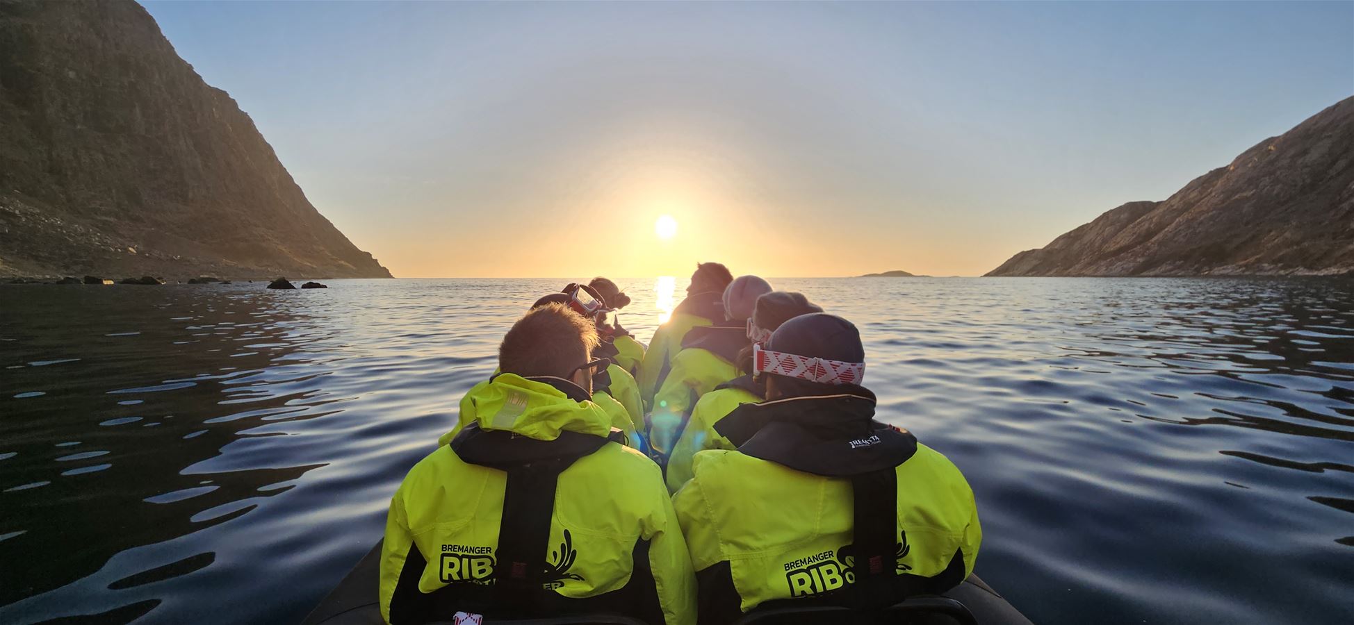
See the coast from the sea: RIB safaris with a chance of spotting puffins, white-tailed eagles and seals, or a more action-packed ocean rafting trip. Certified skippers and safety gear included.
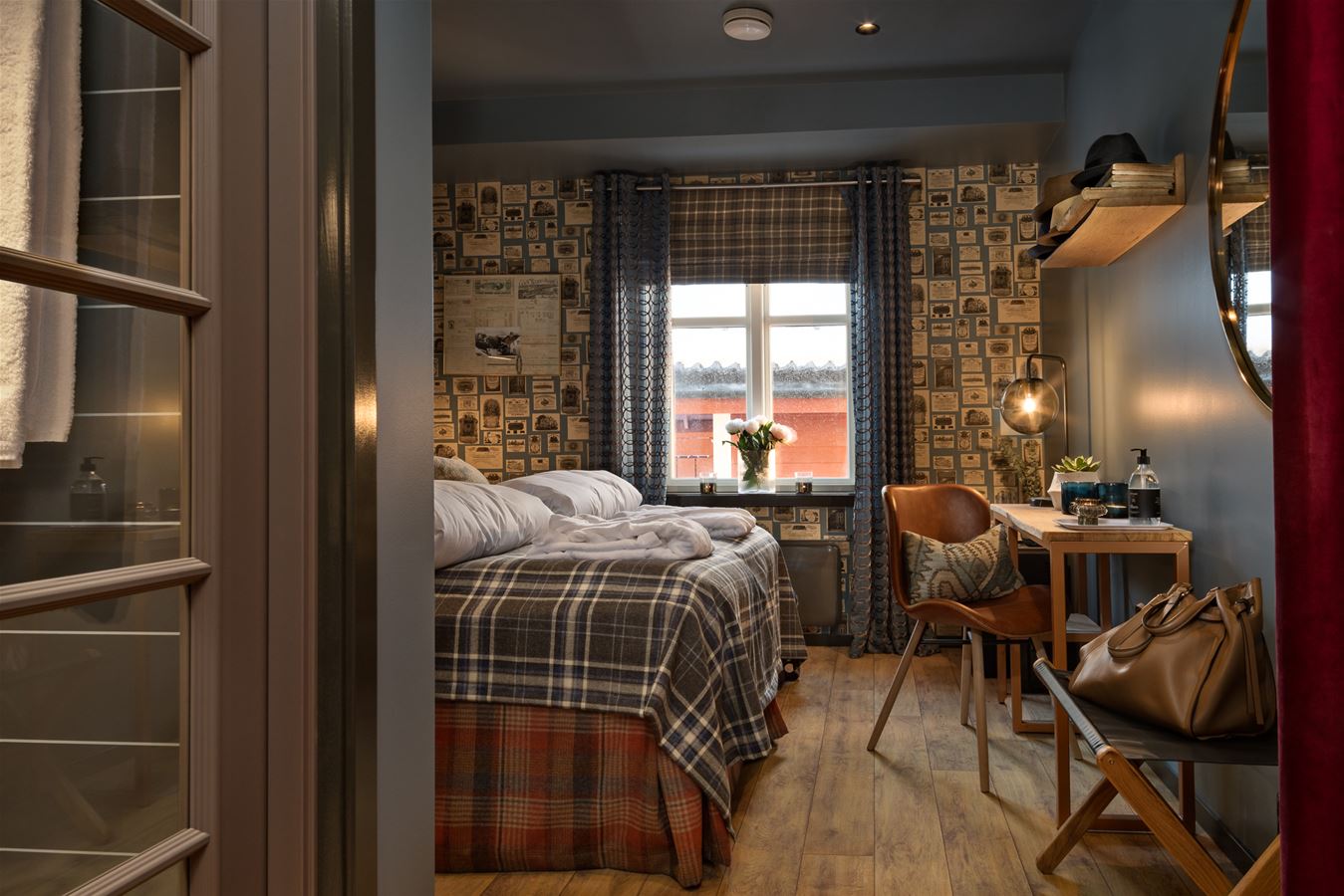
Sjøholt is set in a historic waterfront building from 1860 in Kalvåg. The rooms are themed around local historical figures, combining authentic charm with modern comfort.
The last day takes you furthest west, to the white beaches of Bremangerlandet – before finishing among living red deer at the deer farm in Ålfoten. The red deer is a theme throughout Bremanger: the municipality has more deer than people, and deer dominate the ancient rock carvings at Vingen.
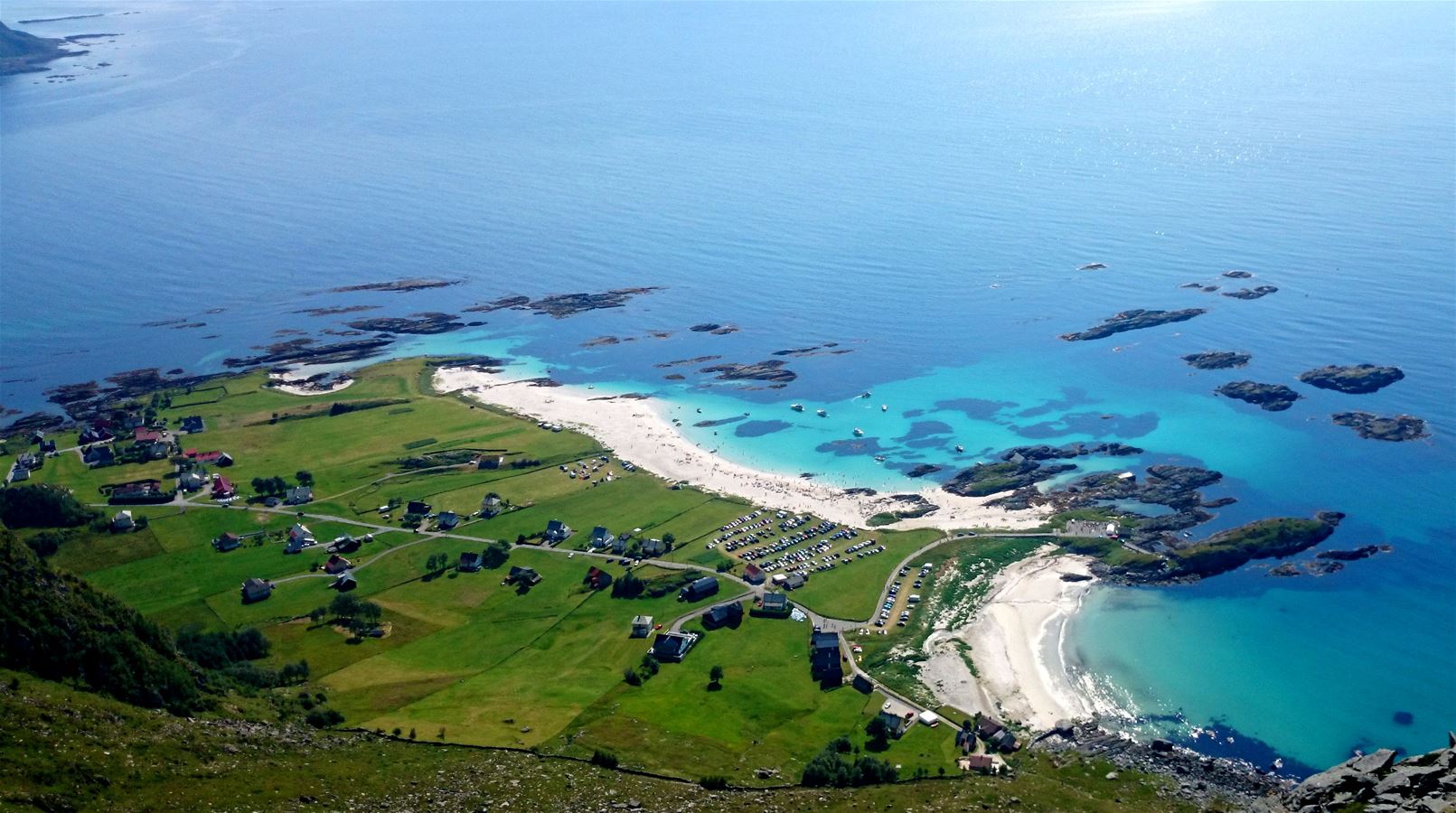
One of Norway's finest sandy beaches, at Grotle on the outer edge of Bremangerlandet. Silky white sand meets open ocean as far as the eye can see. The beach is also the starting point for the hike up Veten, with sweeping views of sea, beaches and islands.
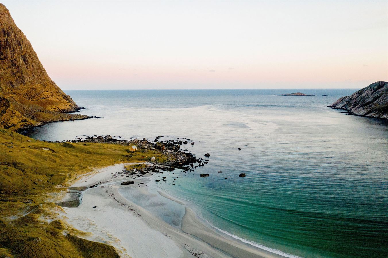
A remote, untouched beach ringed by steep, dark mountain walls. Vetvika was abandoned in 1951, and today you get here either by a three-hour mountain hike from Svarstad, or by boat.
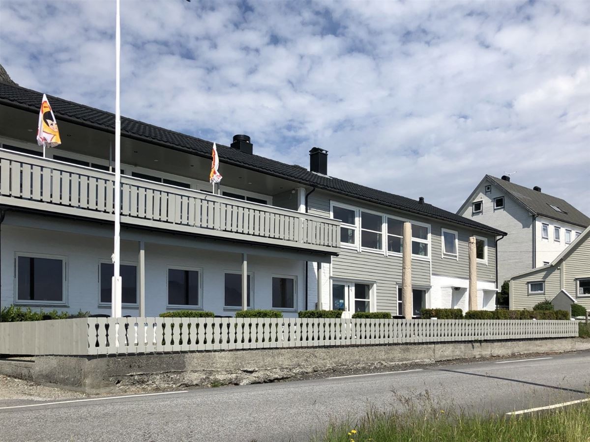
Havlys sits right at the water's edge at Iglandsvika, surrounded by boathouses, a sandy beach and open sea. Thirteen en-suite rooms, a fireside lounge and breakfast room – just 2 km from Grotlesanden.
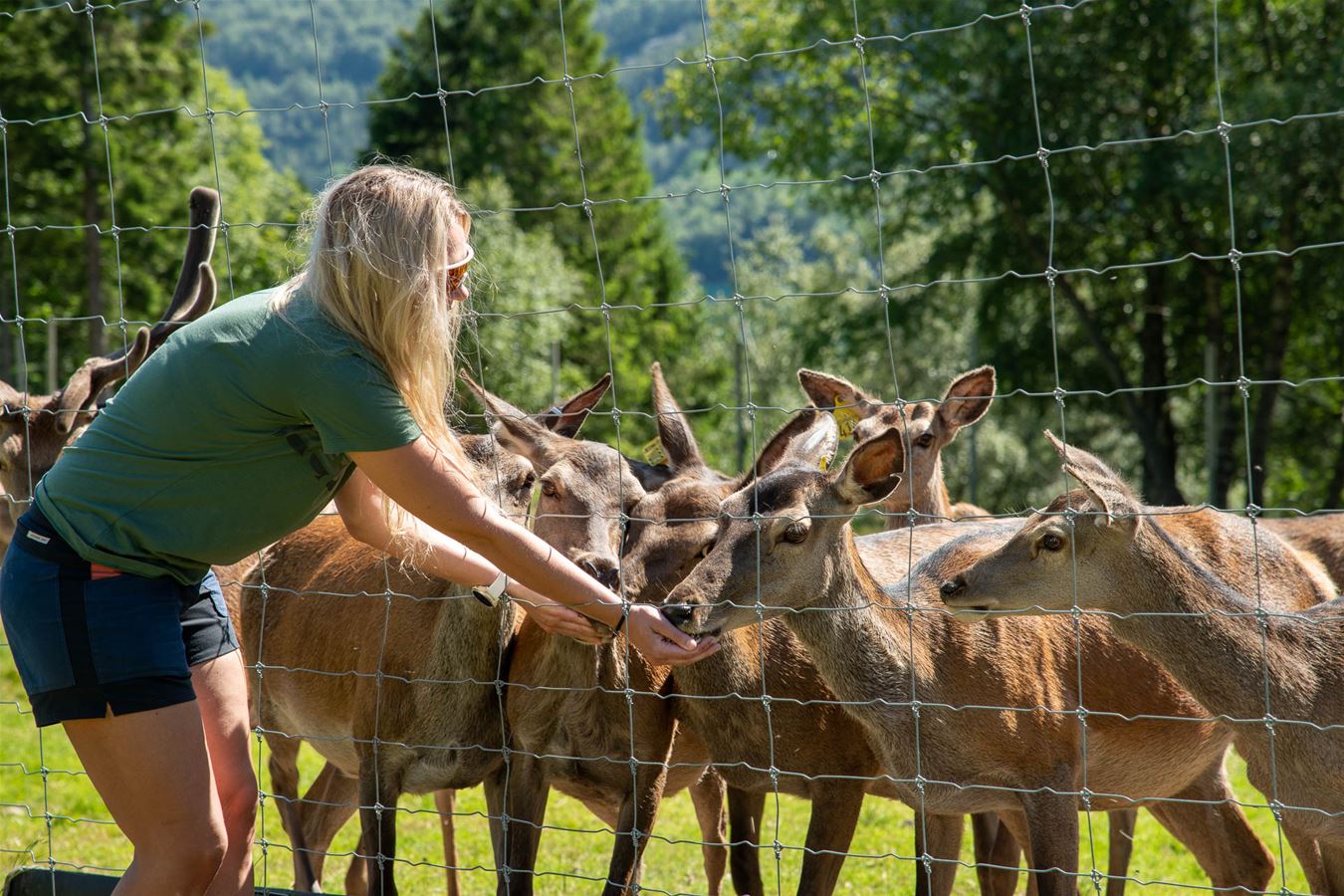
A deer farm in Ålfoten where you get close to the animals – feeding the deer, archery, axe throwing and other farm activities. Great for families; all visits must be arranged in advance.
Not part of the driving route, but well worth adding if the dates line up.
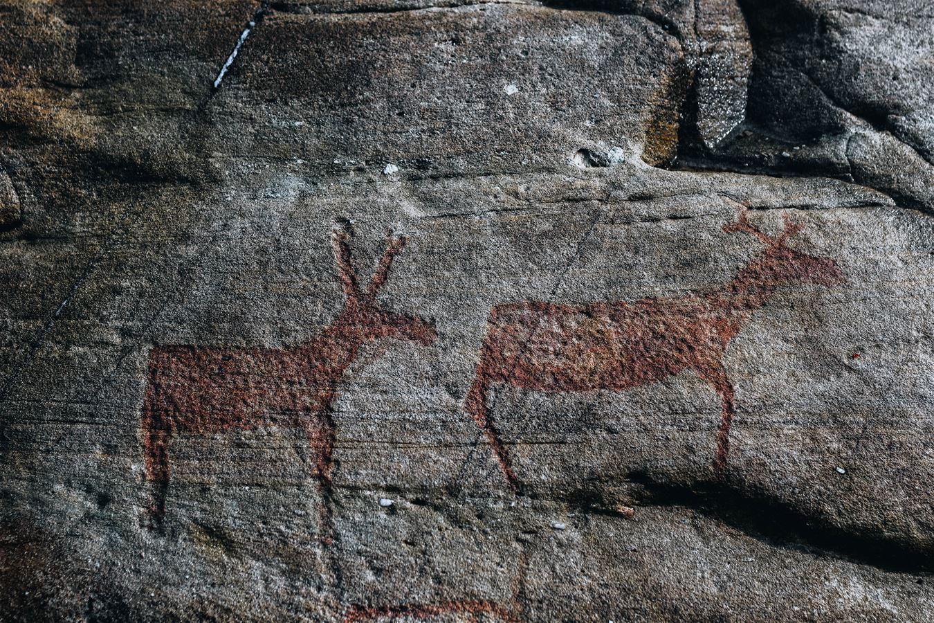
One of the largest rock art sites in Northern Europe, with around 2,000 carvings – most of them depicting red deer – cut into the rock between 4000 and 2000 BC. The site is protected and can only be visited on guided tours. In season (mid-June to mid-August), guided boat trips depart from Smørhamn every Friday.
Kalvåg is approx. 100 km / 2 h 20 min from Sandane Airport, 120 km / 2 h from Florø, and 200 km / 4 h 10 min from Ålesund. A car or hire car is recommended – the stops are spread across Bremanger.
Both the summit hike and the via ferrata routes are demanding and require mountain experience. The via ferrata always runs with a guide, who looks after safety along the way. Check the forecast, and wear sturdy boots and windproof clothing.
Vingen is not part of the driving route – the guided boat tour from Smørhamn runs only on Fridays, mid-June to mid-August. Book well ahead if you want to include this stop.
From a living fishing village to Europe's highest sea cliff – give your guests three days they won't forget, with local hosts all the way.